This is a trail that I had never heard of and have only recently discovered its existence by using the satellite mode on Google Maps. It is called the Health Valley Trail, and as stated in the writeup about it, the trail is not easily navigable in all parts. I don't always believe what I read, so I had to find out for my own self how hard it is to navigate. It goes without question that had I not been so stubborn, I would have turned around within the first 500 metres/547 feet. At that point it started getting tough, but I was determined to see what beauty there was to be found on the trail. I was not disappointed and here is the first 4 hours and 40 minutes, including my bus ride to the stop closest to the point of entry/exit of the trail in the Northern end of Waterloo, Ontario.

This is the view at the first bus stop at home as I was waiting for the presently approaching bus to take me out to Weber Street so I could catch a bus to take me to Conestoga Mall. By this time I had made up my mind to start in Waterloo instead of St. Jacobs, so I caught this bus and the one on Weber St.


To my left is the city and very soon I will be on the edge of the country.


I found it interesting that this exact location makes it possible to see the beauty of the old trees and not see the new house that is beyond the trees.


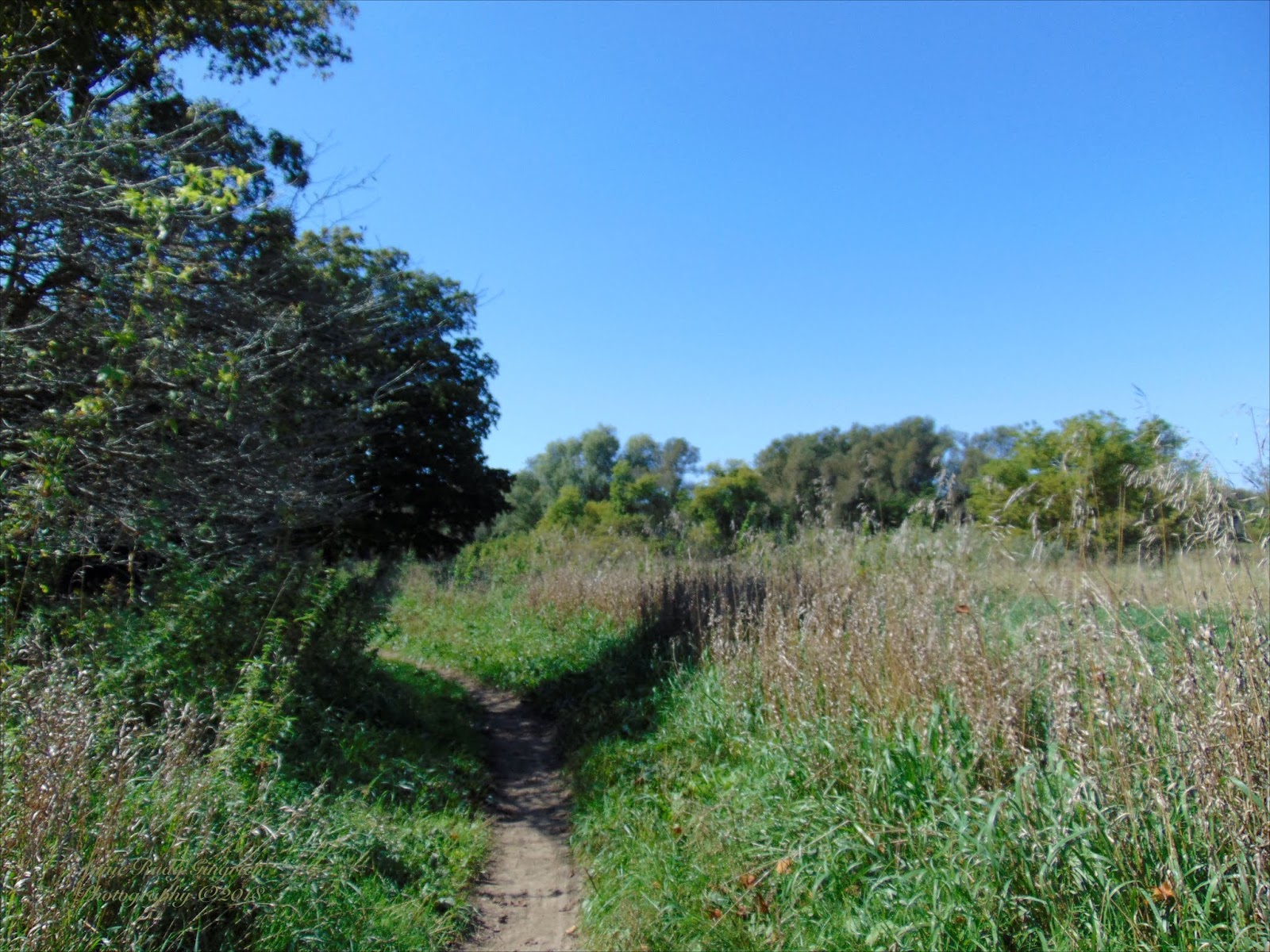
These were the markers that were at the head of the trail as it goes into the farmer's field.


Above: There is also a lot of goldenrod along the side of the trail. It will be a challenge to find out if I can walk along paths with goldenrod without being stuffed up and not able to enjoy life as a result my allergies. I am finding that my Grain-Free WOE has made a difference in my ability to breathe as well and possibly also a reduction of the allergies that I had.
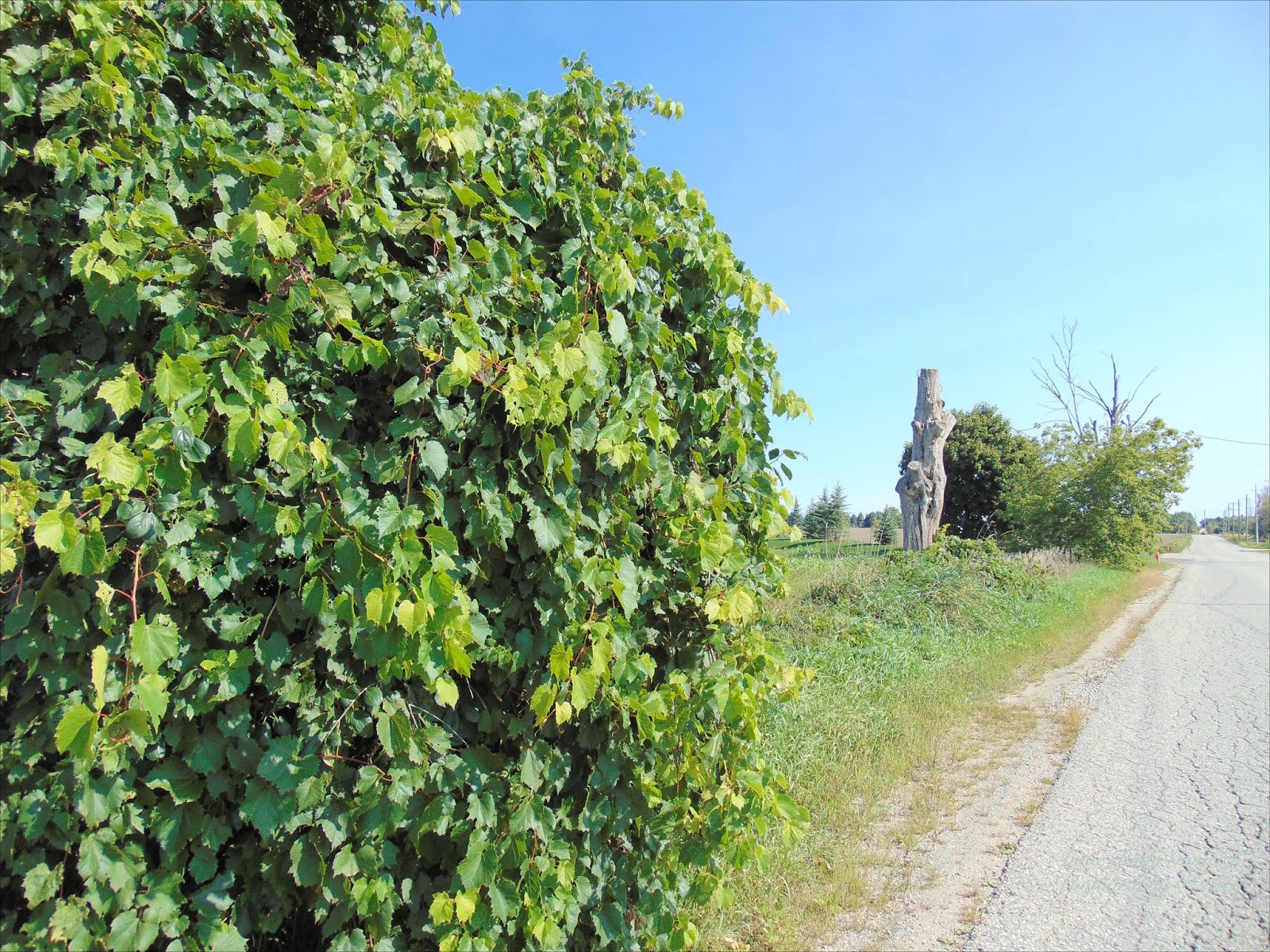
This sign says that this is the HVT end. So apparently I am starting at the end of the trail.


Below is a sign that says The Avon Trail. Because I was travelling on the HVT, I was a bit surprised to see that the trail is also named this. I still have not been able to find out why this sign was there.


The whole area where I walked that day for the first three miles or so had these yellow butterflies in great abundance. They danced and flitted around me and kept landing close-by as if inviting me to capture them on camera. I took quite a few pictures, but am only posting a few in the blog.


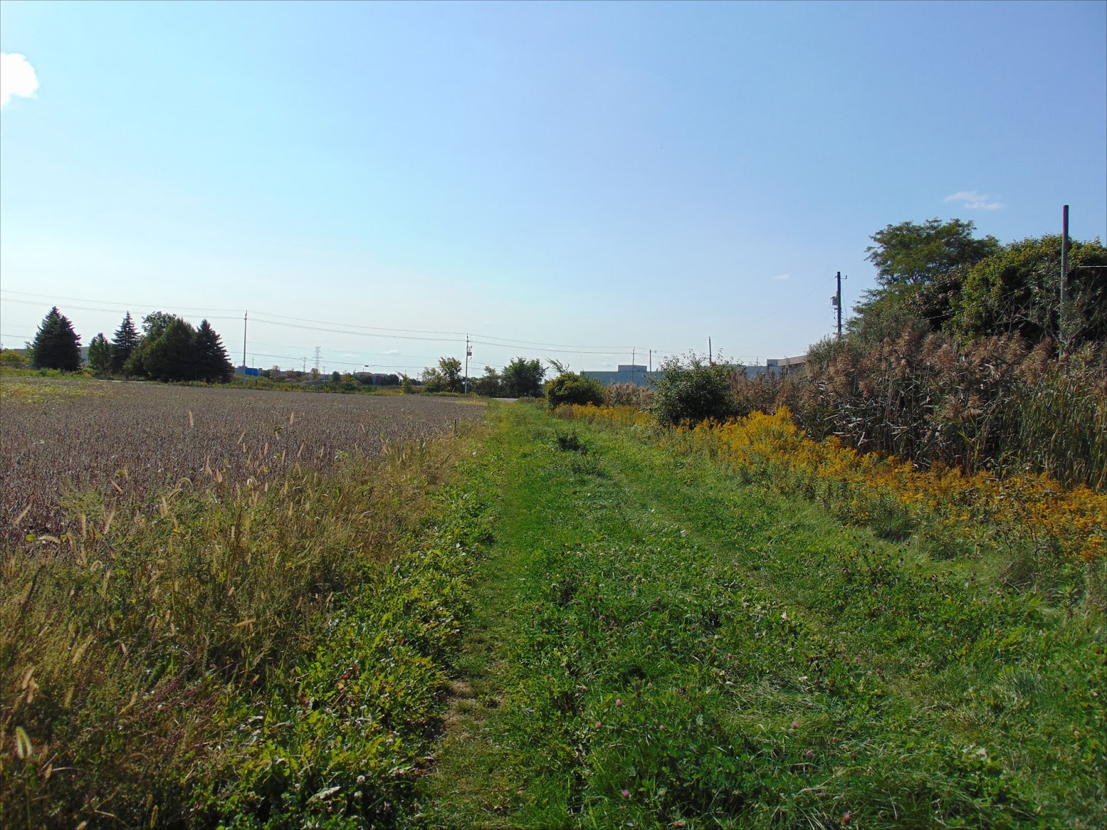
Just being out in the country like this made me happy. As you can see, there are blue skies, open spaces, it was reasonably cool, and the only thing that made it a bit difficult was the fact that the trail was only as wide as a tractor or truck wheel in this location.


On the right the fields are full of soybeans. This was my first time to be this close to soybeans while they are in the field.

There is beauty all around and some might not find it as beautiful as I do. But I just can't shake the feeling of being free on the farm. I was born to the farm life and lived on a farm until I was married. But being on the farm gives me a feeling of freedom that nothing else, other than being on trails and out in parks that are open and have fresh air.


As I was walking along I saw something land in the side greenery, and when I got a bit closer that I could capture it in my lens, this is what I saw.

This is along the trail toward the north, and away from Waterloo.

This view is toward Waterloo, from the way I came. As you can see, the trail is not exactly easily navigated with a walker. I am just thankful that I did have the walker as it means I was able to make the walk a lot easier.


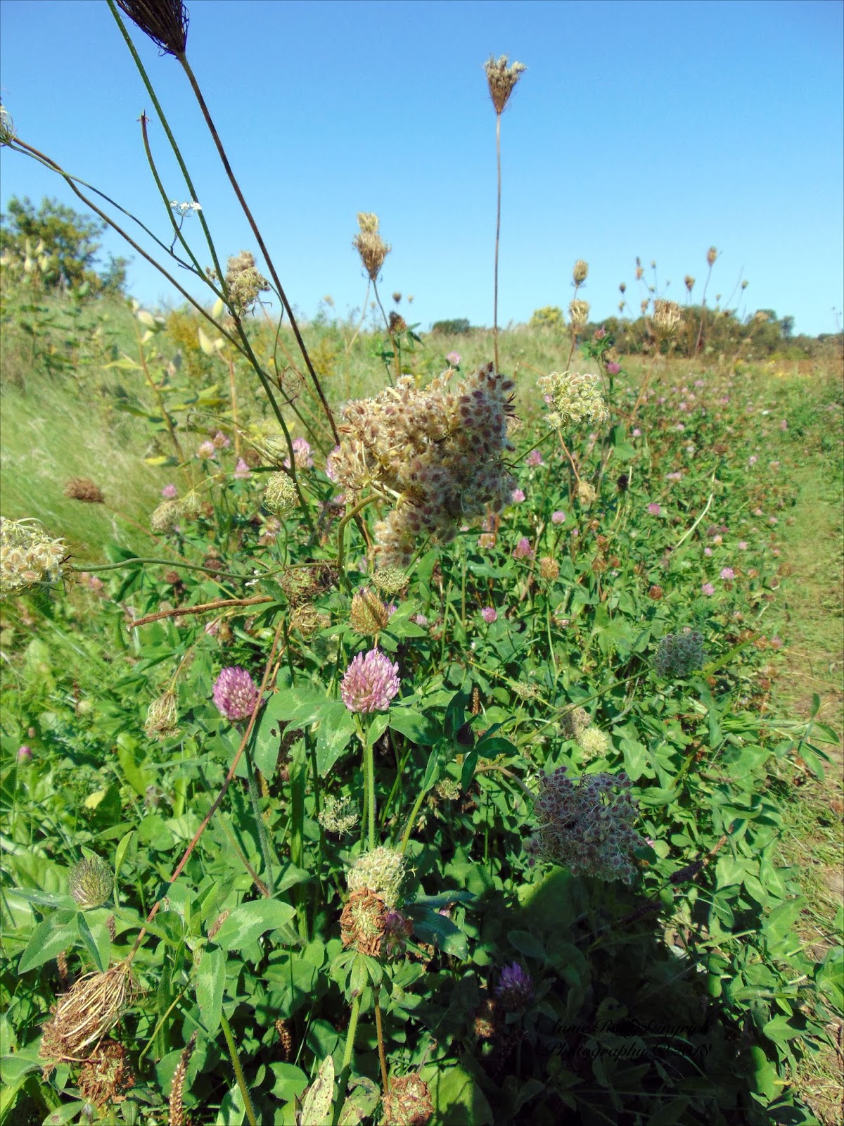
Wild snapdragons graced the trail all the way too. Here is a closeup of some that are in the path and showed their beauty even among the brown grasses on the trail.


Around about here I heard water trickling and looked to see where it was coming from.

It had been apparent with me that there might be some water nearby as there were bullrushes frequently along the ditch here.


There were milkweeds here too, and I noticed that the leaves and such are yellow. They could have been overlooked had it not been for the sun shining so brightly. The goldenrod is a nice background to the yellow leaves of the milkweed leaves.

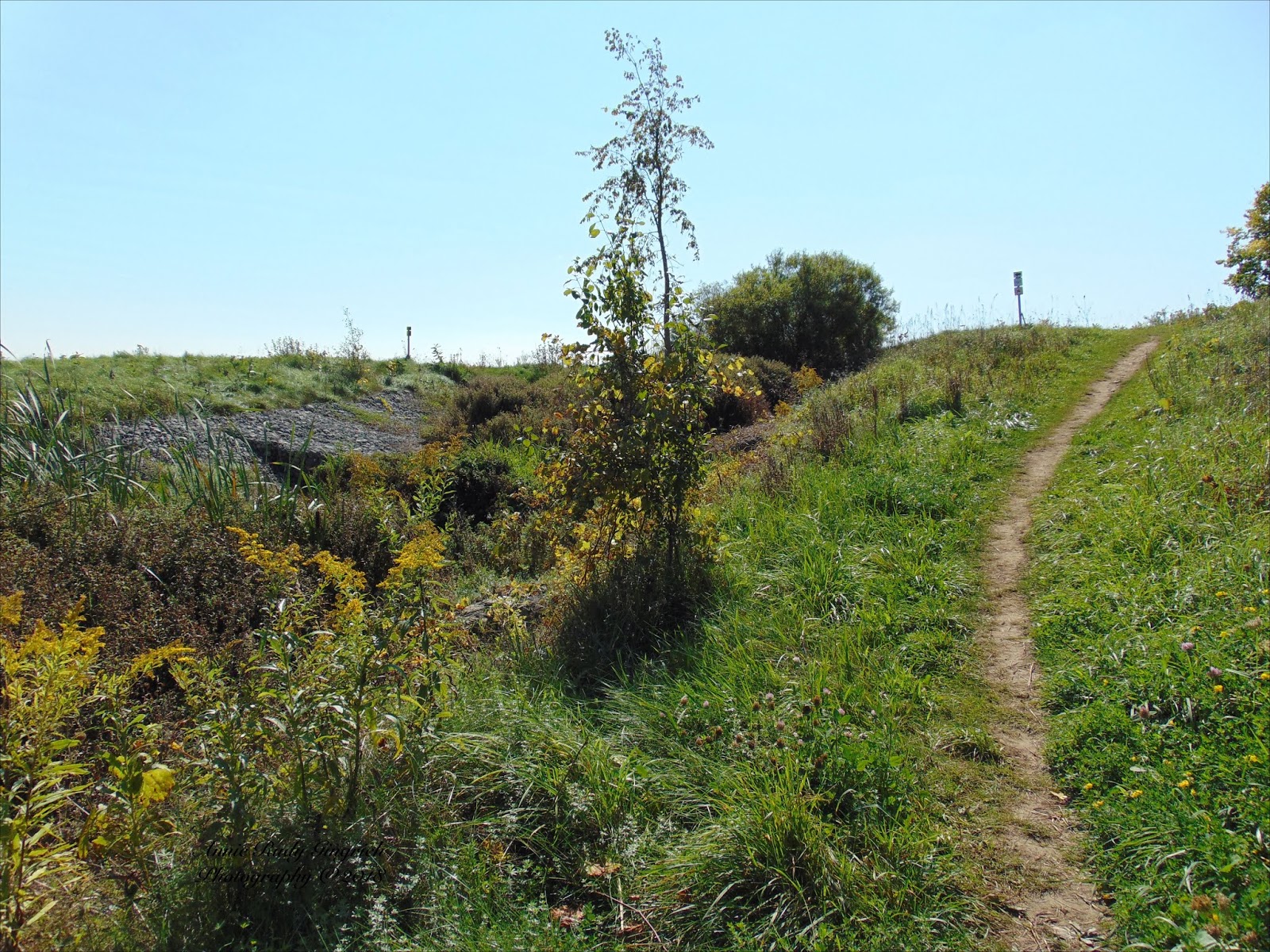
There were a number of slopes along the trail. This one was tricky as the path was very narrow and even the sides of it were sloped off quite sharply.

Across the soybean field there are farm buildings and the roof of the barn is just visible almost dead centre here.

At times I felt certain that I was not gaining any ground as I travelled along here. Those buildings straight ahead didn't seem to be getting any nearer.


I was still seeing the yellow butterflies that I had portrayed earlier, and suddenly there was a monarch butterfly that flew into view. It settled in among the alfalfa blossoms and I was able to get a few closeups of it.


And then the yellow butterflies became very busy again and one even landed on my camera, but of course, I could not capture that. I love the beauty that God created for my pleasure and all who love to see it.


One of the benefits of having a zoom lens on my camera is that I can take photos of something quite a distance away. This bridge is about ½ mile from where I was standing. It was tempting to see if I could find a path that leads to that bridge, but that would have taken me further from any bus route. So I just took a shot from where I was.

And then I got to the part in the trail where it goes across the creek.

I was really surprised when I saw how I would have to cross the creek, and I almost considered turning back, but by the time I had arrived that far, I was not going back. So I backed down the path so I could control the walker.

Once I was at the end of there the chicken wire was over the rocks, I had to try and figure out how I was going to get across the rocks that were right over the creek. It took some struggling but I did make it.

Once I was able to get this out of the creek bed and headed up the other side and part way up the steep slope, I took this picture. It gives a bit of an indication of just how steep the incline was.

As I looked out over the soybean field from the other side of the creek, I found a bevy of colour and beauty. It was worth it and I'm not sorry that I struggled over the creek bed so I could get this view.

The view from this location was great no matter what direction I looked.

One more glance back at the treacherous creek crossing before I made my way forward to head toward the Conestoga River.


There was a corn field to my left and I was able to capture a picture of it. There was some more dead wood there as well.

There is another steep slope here. And there is a lot of beauty here too to be seen and enjoyed.


There is more water here and also some bullrushes. I did notice a distinct foul odour that might have been from stagnant water that was sitting there.


I was able to get a zoomed photo of the farm that is across the soybean field that is here. The roof in the far left is part of a riding stable farm. Later you will see a group of riders that I came across.


The path here would have been easier to traverse had I just been travelling with a cane, but I would not have wanted to only have the support of the cane, but thanked God many times that I had my walker to sit on and rest every so often.


By this time I noticed what I thought spotted the end of the trail before it took a turn to the left. I had suspected that the end of this part of the trail was coming up soon, and then it appeared. At this time I had travelled just over a 1.13km/.7miles.


There is a foot bridge here that I was hoping would be wide enough to get across with the use of my walker. I was not disappointed.


This is a picture of me sitting on my walker on the foot bridge with some beauty behind me. My face was bit red and I'm not sure if the sun had burnt it or if it was from the energy expended to get to this point.


Up to this point there was very little shade and I had been in the sun just under 2 hours. I had been told by one of the passer's by that there was a bush here. I'm glad that there was a place I could sit in the shade and cool off.


When I was here I was wondering how much further I had to go till I got to the river.

Very shortly after that I came to the river and was able to get some pictures of reflections.


These two trees were interesting and made me wonder if I could get the walker through between them. As I was speculating I heard horse harnesses jingling, and also voices of the riders.

Then suddenly they came into view and we chatted for a moment. Upon my asking for permission, I took a photo of them. They had beautiful horses.

These pictures of the river also have reflections.


And then I headed along the trail and this was what I saw ahead.

I was able to see some more of the river from further along the trail that runs close to the river.


A little further up the river I spotted a blue heron. Once I had zoomed in on him I got a few excellent shots of him. It was a very picturesque picture and I love all the colours that the grasses, reflections, and even the blue heron displayed in this photo. It made me think of a painting and I just had to share it with you.


Another glance back down the river and all the beauty to be seen from this spot.


The last two trees I had been concerned about were wide enough to get through but these two were not. I had to lift the walker to get it through them. It was a bit difficult but saved me having to turn around and take the trail around the area.


As I travelled along I was getting closer to the pasture the trail that I had chosen to take was still very narrow as is shown by the walker as it sits with two wheels on the trail and the other two in the grasses or weeds beside it.


As I rounded one of the bends in the trail I spotted this tree that was carved in a totem pole type of carving. I took several photos of it and I even took a selfie with it just to prove that I had been there.


As I came along the trail I found that the creek was flowing across my path and too deep for me to cross. Then I spotted the foot bridge just a bit through the trees and shrubbery.


I took a picture of the bridge and the water under and around it.


After I had crossed the bridge I found two trails. Again I took the trail that ran closest to the water. It looked a bit more passable for me with the walker. And of course, the beauty all around me was worth it. Here is the path that leads from the bridge.


At one point I noticed that there was a worm eaten stump to my left so that had to be photographed as well as the water to the right of me as I walked along the trail, heading closer to Sat. Jacobs.


The path was more navigable here and it took me into another open place and away from some of the mosquitoes that thought they should bug me. At least I didn't come home with a lot of mosquito bites this time.


And again I came into a clearing that had more of the river exposed. I know from one of the people that I met on my walk that I still have to go through a cow pasture before I get to the bridge that runs between St. Jacobs and Waterloo on the expressway. So I kept on taking photos and walking intermittently. There was comfrey and goldenrod here as well as earlier along the trail.


And then I was out in a clearing and heading west. At this point I am about halfway to the spot in St. Jacobs where I will be catching the bus back to Waterloo and then from there on to home.

No comments:
Post a Comment